

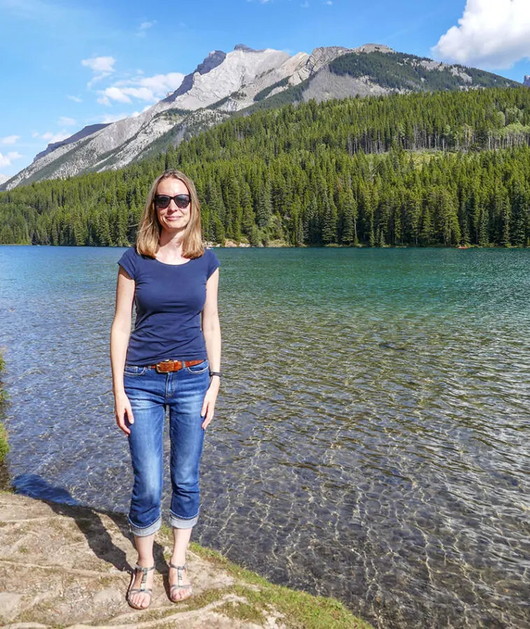


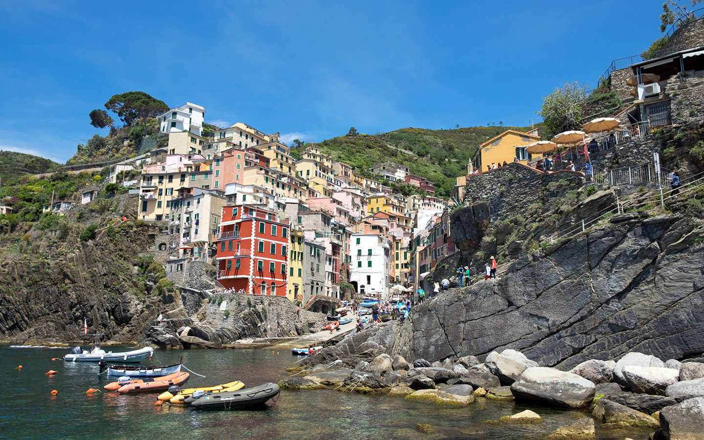
On the Luce is an award-winning travel site for people who are looking for stylish, affordable and sustainable travel experiences around the world.
I’m Lucy, and I’ve been travelling the world for over 25 years and sharing stories, tips and photos from my trips at On the Luce for the last 12 years. From weekend breaks in the UK to European rail trips and long-haul adventures, my guides, itineraries and advice will help you make the most of your travel adventures, large and small.
Latest blog posts
- A weekend in Neath Port Talbot, Wales: 2-day itinerary
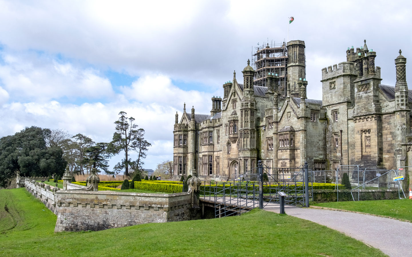
 How to spend a weekend in Neath Port Talbot, South Wales: Discover the best things to see and do in Neath Port Talbot in this …
 - How to get around Symi without a car

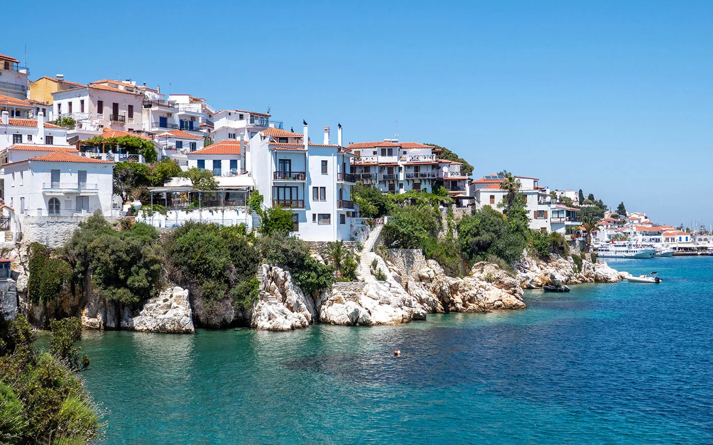
 A complete guide to visiting the Greek island of Symi without a car. Learn how to get around Symi by public transport using buses and …
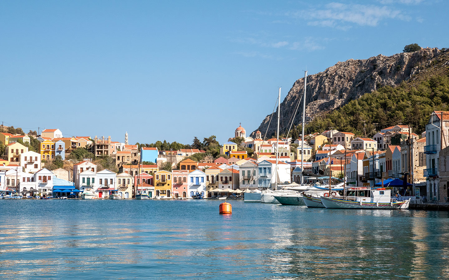
 - Ships and sponges: The best things to do in Symi, Greece
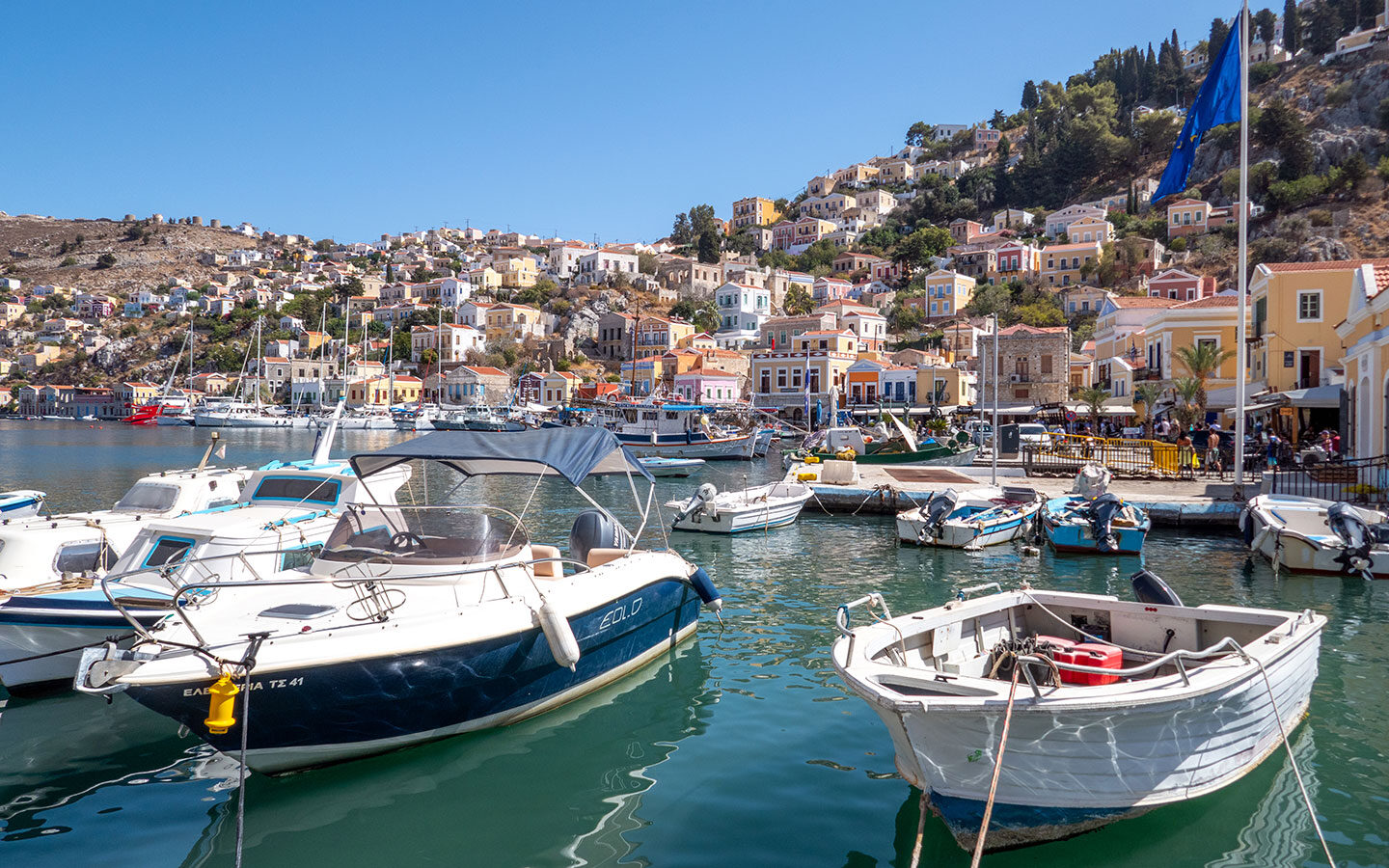
 Discover the best things to do in Symi, Greece – a charming small island in the Dodecanese just a short ferry ride from Rhodes, with …
Where would you like to go?

Search the site
Most popular


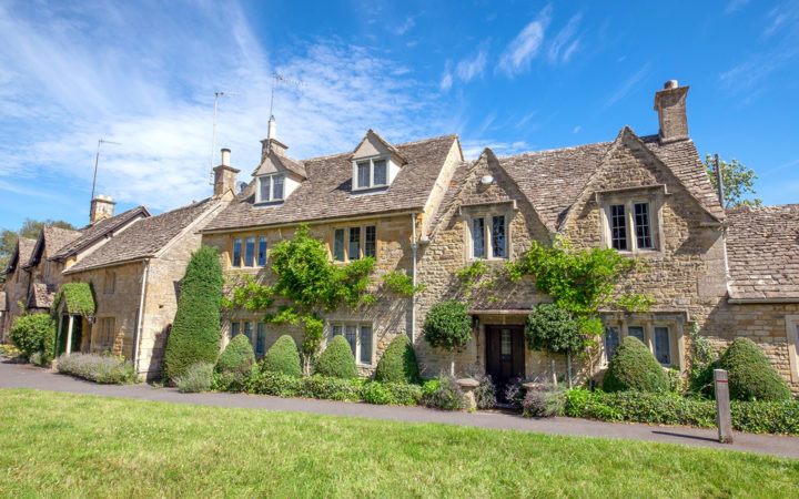


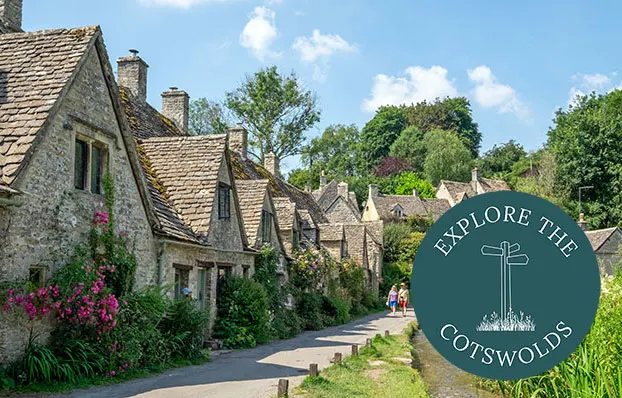
Want to visit the Cotswolds?
Our sister blog Explore the Cotswolds is your guide to the best things to see and do in this beautiful region of England – discover its charming villages, historic houses and gardens and unspoilt scenery with our local expert itineraries, guides and tips.